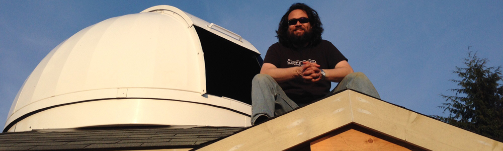
B_ spent a little time clambering around on the roof of the observatory this morning; I really wanted to see if I could implement a cool feature in the star chart software. He walked all the way around the roof, taking a panorama at each corner. Once I got all the panoramas in one place, I pulled them into Photoshop so I could align them. It took several hours to get things all lined up just so. But, here’s the result!
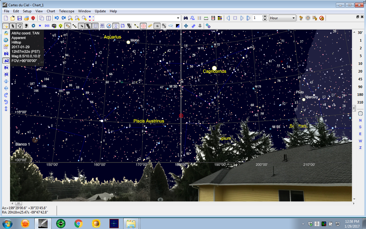
Now, in whatever direction the chart is pointing, it will overlay the house and &c in the correct place, which, in addition to being pretty cool-looking (if I do say so myself), will help me to avoid trees and things.
I’m really starting to feel like I’m “moving in” to the new software stack.
MOST COMMENTED
Observatory
Observatory 2.0 – Time has come today!
General / Maintenance
First Light, a deeper look
Mount / Observatory / Telescope
Observatory 2.0 – Result!
Observatory
Observatory 2.0 – The Pier goes in
Gear / General / Maintenance
Martin Farmer Wormblock installation notes
Deep Sky / Long Exposure Photography
NGC2244, The Rosette Nebula
Deep Sky / Long Exposure Photography
Another beautiful night.